GIS and Mapping Solutions
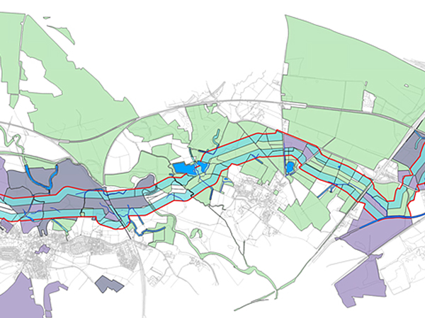
Bruton Knowles provides an extensive range of mapping products and Geographic Information Systems (GIS) solutions, helping organisations of any scale to make better, quicker and more informed decisions.
Using the world’s most powerful mapping and analytics software package available, we have the ability to work with a unique set of capabilities for applying location-based analytics and produce high quality cartographic output requirements whether that is for planning applications, reports or presentation purposes.
How we can help you:
- Site Searching
- Land Referencing
- DCO/CPO Compliant Land Transfer Plans
- Book of Reference
- Compulsory Purchase Order land plans
- Wayleave And Land Ownership Plans
- Access And Rights Land Plans
- Survey mapping
- Acquisition and disposal plans
- Interactive Land Use Plans
Our team of GIS experts are able to respond quickly and efficiently to your resource requirements.


